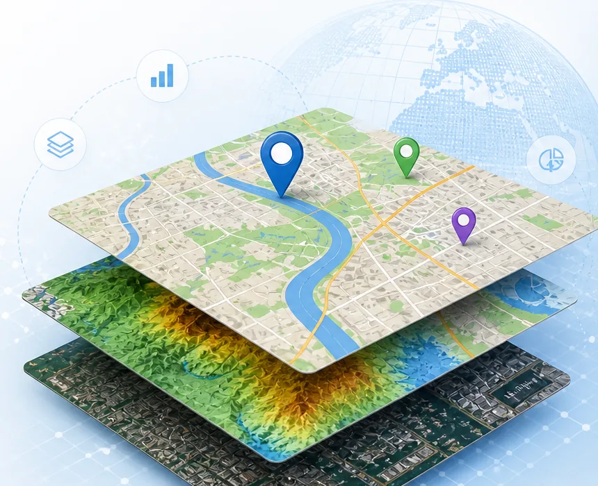
GIS command center
Smart Land Intelligence

Set source location
Drag the map beneath the fixed pin
Scale loading...
Place label focus
Always shown on 2D map
Traffic intelligence
Loading aggregated navigation samples...
Privacy-safe cells appear only with 3+ devices and 6+ averaged minute observations.
Select a source and target to draw a road route.
Public test environment: live GPS trip data is stored only on this development host.
--
shortest returned road route
Car--
Motorbike--
Bus--
Bicycle--
N
NE
E
SE
S
SW
W
NW
Map Controls
Attribute table
Visible features
| Layer | Name | Type | Status | Area / Length |
|---|